Mastering the Waze Navigation Ecosystem: A Comprehensive Guide to Optimizing Real-Time Travel Intelligence

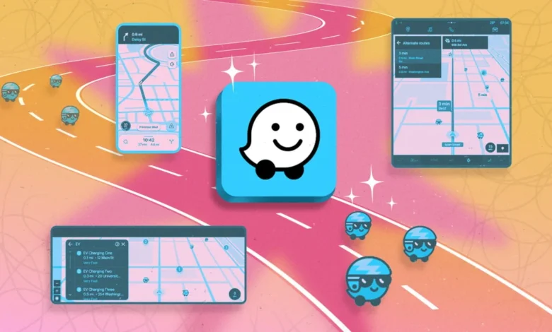
Waze has evolved from a niche community-driven project into a cornerstone of modern digital navigation, fundamentally altering how millions of commuters interact with urban infrastructure. Since its acquisition by Google in 2013 for approximately $1.1 billion, the platform has maintained its distinct identity by leveraging crowdsourced data—what the industry calls "participatory sensing"—to provide dynamic route adjustments that static mapping services often miss. By integrating real-time reports from millions of active users regarding road hazards, law enforcement activity, and traffic flow, Waze serves as a sophisticated information layer atop standard geographic data. For power users and casual commuters alike, understanding the depth of Waze’s feature set is essential for maximizing efficiency and safety on the road.
The Evolution of Crowdsourced Navigation
The origins of Waze date back to 2006, when Uri Levine, Ehud Shabtai, and Amir Shinar founded "FreeMap Israel." The goal was to build a digital map of Israel that was updated by volunteers. This grassroots philosophy remains the engine of the application today. Unlike Google Maps, which relies heavily on historical traffic data and telemetry from Android devices, Waze is designed to react to the "now." If a vehicle breaks down or a road is blocked by an unannounced construction crew, a single Waze user’s report can immediately divert thousands of other drivers, preventing gridlock. This high-frequency data exchange creates a living, breathing map that is particularly effective in densely populated metropolitan areas where traffic patterns are volatile.
Managing Logistics: Syncing Calendars and Time-to-Leave
One of the most persistent challenges for the modern commuter is the unpredictability of "last-mile" logistics. Waze addresses this by bridging the gap between personal scheduling and live traffic conditions. By syncing a device’s native calendar—be it Apple, Google, or Outlook—with the Waze application, the software gains access to upcoming appointments that include location data.
The "Time to Leave" feature is not merely a static alarm; it is a dynamic calculation. When enabled, Waze monitors the current traffic conditions in relation to the user’s location and the scheduled appointment time. If a traffic accident occurs on a commuter’s standard route, the application will push a notification suggesting an earlier departure to ensure punctuality. This functionality requires the user to proactively select "Plan a Drive" within the app, allowing the software to continuously poll the route and adjust its recommendations based on real-time incidents.
Advanced Safety and Customization Features
While navigation is the primary function, Waze includes several specialized tools designed to enhance driver attentiveness and safety. The "Child Reminder" feature, originally conceived to prevent accidental heat-related tragedies, has seen widespread adoption as a general-purpose notification system. By navigating to Settings > Reminders > Child Reminder, users can input custom alerts, such as reminders to retrieve work laptops, gym bags, or grocery items.
Furthermore, the application’s speedometer integration serves as a crucial defensive driving tool. In regions with variable speed limits, such as highway construction zones or dynamic school zones, Waze can be configured to alert the driver when their velocity exceeds a user-defined threshold. This feature is particularly useful for drivers navigating unfamiliar terrain where speed limit signage may be obscured or inconsistent. By enabling "Alert at Threshold," the app provides auditory feedback, ensuring that the driver remains compliant with local regulations and reduces the likelihood of traffic citations.
Filtering the Data Stream: Prioritization and Background Operation
As the density of Waze users increases, the amount of data displayed on the map can become overwhelming. To prevent "information fatigue," the application allows users to filter the types of reports displayed on the interface. By navigating to the "Alerts and Reports" menu, drivers can prioritize the notifications that are most relevant to their specific journey, such as police presence or road debris, while suppressing less critical information.
For those who prefer the visual interface of competing services like Google Maps or Apple Maps, Waze offers a "background" mode. By enabling audio alerts while driving, the app remains active in the background of a smartphone’s operating system. This allows the user to benefit from Waze’s community-sourced hazard reports—delivered via voice prompts—while using another platform’s primary navigation interface. This interoperability reflects a growing trend in the automotive technology sector toward "ecosystem-agnostic" utility, where users can mix and match tools to suit their specific needs.
Route Optimization: Tolls, HOVs, and Infrastructure
Financial and regulatory efficiency is another area where Waze provides significant value. The app allows users to input their specific toll passes and HOV lane subscriptions. For commuters in regions with complex congestion pricing or high-occupancy vehicle lanes, this is a vital feature. By identifying the user’s specific passes in the "Toll and HOV" settings, the app calculates routes that optimize for both speed and cost-effectiveness.
Even for those without specialized passes, Waze can optimize routes based on passenger counts. By selecting the HOV option during the route planning phase, the app will incorporate carpool lanes into its navigation algorithm, provided the user has indicated they meet the occupancy requirements. This data-driven approach to routing has broader implications for urban planning, as it naturally distributes vehicle traffic across available infrastructure, potentially reducing the load on major arterials.
Enhancing Navigation Safety in Complex Environments
Not all routes are created equal, and Waze provides tools to mitigate the risks associated with difficult road geometry. Drivers who find themselves navigating through unfamiliar cities often struggle with high-stress maneuvers, such as making unprotected left turns across heavy traffic or navigating complex, multi-lane intersections.
Within the navigation settings, users can select the "Avoid Difficult Intersections" option. This forces the algorithm to favor routes that utilize roundabouts, protected green arrows, or right-hand turns. While this may occasionally add a marginal amount of time to the journey, the safety and stress-reduction benefits are substantial. Additionally, users can set global preferences to avoid tolls, ferries, or unpaved roads, ensuring the route matches the vehicle’s capabilities and the driver’s comfort level.
Audio Integration and User Experience
The modern vehicle is an extension of the digital workspace, and Waze’s built-in audio player facilitates this transition. By integrating with services like Spotify, YouTube Music, and Pandora, Waze allows users to manage their audio content directly from the map interface. This design choice is intended to reduce "app switching," which is a known cause of distracted driving.
To further personalize the experience, Waze has long utilized celebrity voices for its navigation prompts. This feature, which uses audio clips recorded by recognizable figures—such as the recent collaboration with the "Cat in the Hat"—serves a dual purpose: it keeps the driver engaged with the app and fosters a sense of community. The ability to record custom directions in one’s own voice or a loved one’s voice further highlights the platform’s emphasis on personalization.
Privacy and Data Stewardship
As data privacy becomes a paramount concern for consumers, Waze has updated its privacy framework to provide users with more control over their digital footprint. Users can now enable "Invisible Mode," which prevents their username, profile photo, and real-time location status from appearing to other drivers on the map. Additionally, the application provides clear pathways for deleting navigation history, saved locations, and individual drives.
From a technical standpoint, the anonymization of user data is essential for Waze’s operation. The app functions by aggregating the velocity and direction of thousands of users to calculate traffic speeds. By stripping personally identifiable information (PII) from this stream, Waze can maintain a high level of accuracy while adhering to evolving data protection standards. However, experts continue to advise that users disable personalized advertising within the "Privacy" settings to further restrict data sharing with third-party partners.
Implications for Future Mobility
The ongoing refinement of Waze reflects the broader shift toward "Smart Cities." As municipal governments increasingly seek to manage traffic flow through technology, the data harvested by platforms like Waze becomes invaluable. By understanding how drivers react to specific hazards or how they choose to bypass toll roads, urban planners can make more informed decisions about infrastructure investment.
The success of Waze underscores a fundamental truth about the digital age: community-sourced data is often more reactive and accurate than top-down, sensor-based systems. By empowering the individual driver to act as a sensor, Waze has created a robust, global network that is resilient to the unpredictability of daily life. For the user, the key to unlocking this potential lies in a thorough understanding of the app’s settings, ensuring that the technology serves the driver’s specific needs rather than the other way around. As navigation technology continues to integrate with autonomous and semi-autonomous driving systems, the principles established by Waze—real-time updates, community feedback, and user-centric customization—will likely remain the standard for the next generation of transportation.